Your First Seoul Hike Shouldn't Start With a Summit Photo
Compare an easy Inwangsan foothill path with steeper routes, and learn why distance alone is a poor guide to difficulty.

Research-verified — cross-checked against independent sources
How we verify →·Last verified ·5 min read
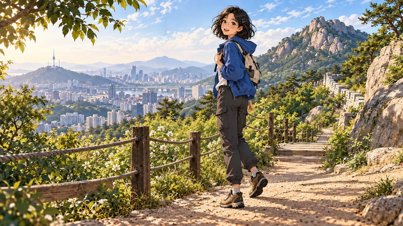
Search for a Seoul hike and Bukhansan's highest peak soon fills the screen. That is one kind of day. A foothill walk is another. So is a short route with rocky sections. The distances can look similar while the effort is anything but. Read the difficulty label before you save the photograph.
- For a gentle start: Inwangsan Jarak-gil is 2.73 km, with an official estimate of 1 hour 10 minutes and an easy rating.
- For more climbing: The Inwangsan Seonbawi route is shorter at 1.84 km, but rated average difficulty.
- Do not treat Bukhansan's Baegundae route as a beginner walk. Visit Seoul rates the published route advanced.
- Without hiking gear: The Bukhansan Hiking Tourism Center offers route information and equipment rental; check current availability before going.
Which trail feels like a first hike?
| Route | Official distance and estimate | Official rating | What you are choosing | |---|---|---|---| | Inwangsan Jarak-gil | 2.73 km · about 1 hr 10 min | Easy | A foothill walk with city views | | Inwangsan Seonbawi | 1.84 km · about 1 hr 10 min | Average | A shorter but more demanding ascent | | Bukhansan Baegundae route | about 10 km · about 4 hr 20 min | Advanced | Not our first-hike choice |
The first two rows are the useful comparison. Jarak-gil is longer than the Seonbawi route, yet Visit Seoul gives both the same time estimate. A short route can make you work harder. That seems obvious once you are on a slope; on a planning screen, the kilometre figure often wins your attention first.
Inwangsan (인왕산) Jarak-gil is the clearer introduction. Visit Seoul describes gentle changes in elevation, boardwalk and dirt path, plus an observatory view. It also notes there are no stores along the route. Bring water. A normal walk through the city is not quite the same preparation.
What if Bukhansan is the mountain you came to see?
Going to Bukhansan (북한산) does not mean climbing Baegundae. The Bukhansan Hiking Tourism Center, near Bukhansan Ui Station (북한산우이역), offers multilingual route information and equipment rental. Ask for a route that matches your shoes, time and confidence. Confirm opening and gear availability before setting out; a rental service does not guarantee your size is in stock.
The published Baegundae course is marked advanced. The view may be excellent, but the label is doing useful work. Keep the summit for a day when you actually want a demanding hike. If a city-wall walk is closer to your plan, the climb from Hyehwa toward Naksan is a different kind of outing.
What changes on the morning of the hike?
Weather and trail access. A route described in an article is not a live conditions report. Use Visit Seoul's hiking portal to compare routes, then check the relevant authority's current trail and weather notices on the day. Carry water, wear shoes with grip and leave enough daylight to return. An hour-long route still deserves more than an hour's worth of planning.
 A Note From Daniel — our real human editor
Seoul has gentler walks, but that does not make every trail easy: Baegundae is a demanding route. You may see younger hikers posting summit photos, but choose a path for your fitness, not the photograph. If an accident or medical emergency happens on a hike, call 119 for emergency help in Korea.
- Compare official difficulty ratings as well as distances.
- Jarak-gil is the easy first option; Seonbawi is rated average.
- Baegundae's published route is advanced, not a beginner shortcut.
- Recheck weather, access and any gear-rental details before departure.